Bridleway
From path No. 17, approximately 170 metres south-east of the southern end of Brook Lane, U/C 12003, leading south-east to the foot of Fovant Down, then south-west to its junction with Eastern Holloway, (Fovant 14). Approximate length: 900 metres. Width: 1.8 metres.
North to South
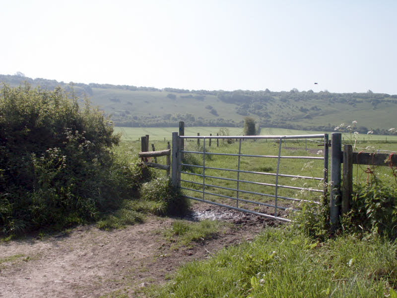
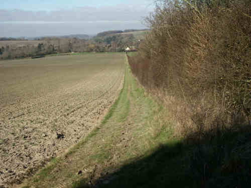
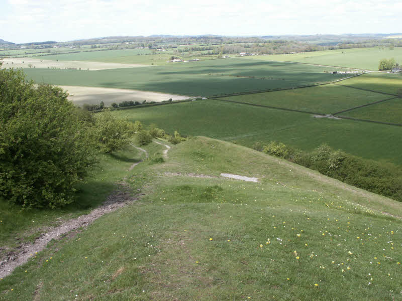
The path starts [1] in the rough track extension of Brook Street (Path 17) at an unmarked farm gate (008282). Go through a paddock to another gate before heading for the foot of Fovant Down. A waymark has been fixed to a post in the paddock indicating that you should take the route to the west of the hedgerow [2] until the foot of the Down, where you should turn left through the gap in the hedge before going through the hunter’s gate [3] marked with a bridleway disc (011277). This is one of the entries to the newly designated Open Access countryside, but if you wish to stick to the path, bear right into a sunken green track climbing obliquely across the face of the Down [4].
The bridleway, after climbing about halfway up the Down, meets Path 14 [5] (009275).
South to North
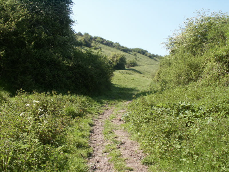
The path starts some way down Path 14 which you join on the Herepath (Path 18). At this junction [5] (009275) branch right, down a sunken path dropping obliquely across the face of the Down [4].
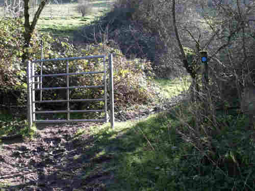
At the foot of the Down go through the hunter’s gate [3] (011277) leaving the Open Access area, and then take a few steps to the left through the gap in the hedge so that you are on its west side.
Now follow the verge of the cultivated field [2] until you come to a gate leading into a paddock. Another gate leads out of the paddock at the end of this bridleway [1] on to Path 17 (008282).
M.C.L.H.
December 2002