Rights of Way today in Fovant
There are several Rights of Way in the parish and these pages aim to help residents and visitors enjoy the surrounding countryside by guiding them along the paths as they are today.
The information contained in the path descriptions was believed to be correct at the time of writing. However, paths change, so the author would be glad to be told of any mistakes, improvements or other changes that would make journeying easier. Just go to Introduction/Contact us on the menu and type your comments. Thankyou.

FP 1 — FP 2 — FP 3 — FP 4 — FP 5 — FP 6(A) — FP 7 — BW 8 — FP 9 — FP 11
FP 12 — BW 13 — BR 14 — BW14(A) — BR 15 — FP 16 — BW 17 — BR 18 — BW 19
FP = Footpath.
BW = Bridleway.
BR = Byway open to all traffic.
(Note that Paths 14 and 15 have Traffic Regulation Orders imposed upon them and there is no Path 10).
Since October 2005 many areas of ‘mountain, moor, heath, down and common’ have been mapped in order to provide open access to walkers. For more on this subject click here
Details of the paths will be found on the following pages. Just click on the appropriate path number and then use your browser Back button to get back here, or use the links on the page to go from one path to another.
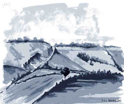
A bird flying over the nearby Fovant Down might see the paths as they appear on the map above, but for more detail either look at the maps here on the Geography / Maps page, or use any of the Ordnance Survey maps which cover the area, either from the O.S. website , or by carrying any of the following sheets. (Unfortunately, you may need three!)
| Type | Scale | Sheet Number | Title |
|---|---|---|---|
| Landranger | 1:50 000 | 184 | Salisbury & The Plain |
| Explorer | 1:25 000 | 118 | Shaftesbury & Cranborne Chase |
| 130 | Salisbury & Stonehenge | ||
| 143 | Warminster & Trowbridge |
Each entry is introduced by a ‘Definitive Statement’. This is part of a document outlining the characteristics of the path which accompanies the ‘Definitive Map’ prepared by Wiltshire Council. The Definitive Map shows, on a large scale, the route of the path. Copies of the map may be found in Reference Libraries in Wiltshire.
Wiltshire Council also produce much more information on Rights of Way which may be found by clicking on this link .
A bracketed number in the text refers to thumbnail pictures in the middle of the page. You can click on these to enlarge the picture, which might help you along the way. Happy exploring!
M.C.L.H.
June 2004