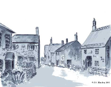
One of our founder members, Sue Gough, embarked on a project a few years ago to research the buildings of Fovant. She produced a large, hand-drawn map of the village and marked the buildings on it, not only in their location, but also with their age.
For the village fête in 2002 a fresh copy of the map was made, in several sections, and it is those sections that are shown on this page.
For 2008 the maps have been updated and by clicking on the small maps on this page you will be directed to each street in turn, wherein you will be able to witness the expansion that has taken place in the village. As usual, click on the Back button of your browser to get back to the previous page.
We would like to thank Sue for the work that she has put in and continues to put in, both in drawing the map in the first place and in collecting the information that has enabled a database of Fovant building to be initiated. The numbers shown on the maps, in brackets, relate to that database.
The diagram in the centre of the page is a key to the other maps. A colour code has been used to link the separate maps with the key.