Byway open to all traffic
The Herepath – From the Sutton Mandeville Parish boundary leading north-east, parallel with the Ebbesborne Wake and Broad Chalke Parish boundaries, past path No. 11 at Fovant Hut and across the Fifield Bavant – Dinton road, C.64, to the Compton Chamberlayne Parish boundary, east of Chiselbury Camp. Approximate length: 3220 metres. Width: 7.31 metres.
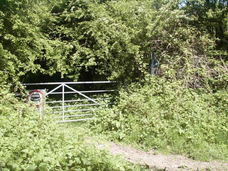
This byway runs on the crest of the Downs following an old Turnpike road. It is an obvious track throughout, clearly much used by all forms of traffic. At the parish boundaries at either end (994262) and (021279), there are no waymarks, nor are they necessary. Where the Fifield Bavant road crosses the track (TAKE CARE HERE) you will see a metal finger post (004268) labelling the track as a Byway with arrows pointing along the track both ways.
Several paths join this Byway. From west to east they are Path 19 , Path 11 (just past Fovant Hut), Path 14 & Path 14A and Path 16 near Chiselbury.
Paths 11, 14 and 16 will enable you to get to the designated Open Access countryside.
M.C.L.H.
December 2002


