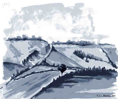
Footpath
Hanging Footpath – From the Fifield Bavant – Dinton road, C.64, High Street, about 45 m south-east of the War Memorial, leading north-east across path No. 3 to path No. 17 at Green Drove Cottages. Approximate length: 548.5 metres. Width: 1 metre. Part subject to ploughing.
West to East
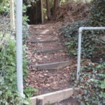
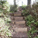
The path leaves High Street at a metal finger post (004289) showing the Public Footpath to be up steps past a metal safety rail [1]. Climb steeply between gardens on each side and up several flights of steps [2], amongst which you cross the route of the old Camp railway . The path then reaches a gap in the fence (005290) where you join Path 3 .
From this point, the route of the official path as shown on the OS maps, and which is waymarked on a power pole, is not clear. An alternative route along a parallel hedgerow to the north has come to be used.
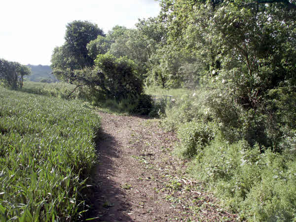
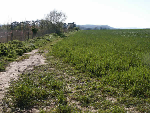
Turn left to find this route [3] which starts at the junction of Path 3 and Path 5 (003291) and runs along the north side of the hedgerow. It leads to a wide gap in the hedgerow (009292) along Green Drove (Path 17) [4].
East to West
The path officially starts in Green Drove (Path 17) opposite Green Drove Cottages, but as the route of the path is unclear and not waymarked at this end, an alternative route has come to be used.
This starts farther to the north along Green Drove where there is a wide gap in the hedgerow to the west. (008292)
Then follow the edge of the cultivated field [4], keeping to the north side of the hedgerow. This will lead you to the junction of Path 3 and Path 5 (003291) [3] where you should go through the kissing gate and bear left along Path 3 until you see a gap in the fence on your right. Go through this gap (005290)and down several flights of steps [2], amongst which you cross the route of the old Camp railway . Continue descending steeply until you come to a guard rail and finger post [1] on High Street (004289).
M.C.L.H.
December 2002

